But on Friday, something relatively unusual occurred: a very narrow “mini” atmospheric river was locked over our region for hours, producing a narrow band of intense precipitation over western Washington and into the Cascades.
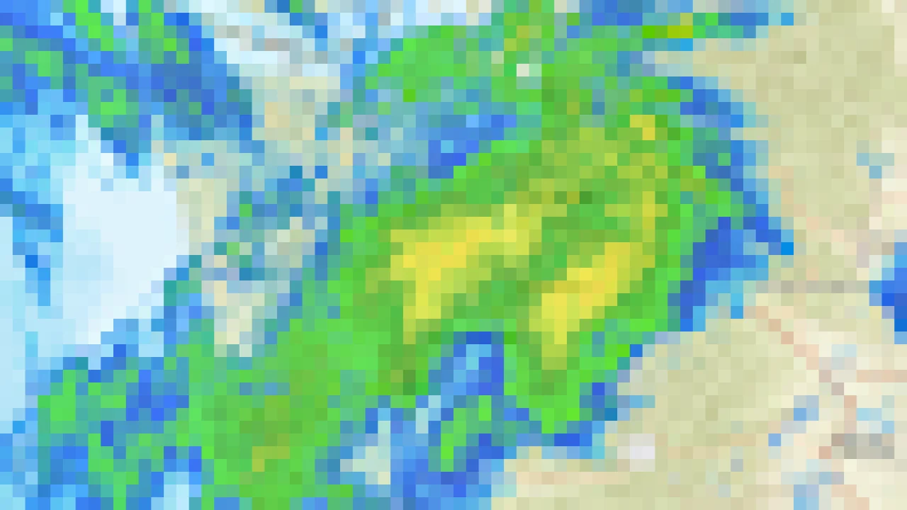
You can really see it in the regional weather radar image for Friday morning (below). Yellows indicate the heaviest precipitation.
The southwest-northeast plume of heavier rain was very evident. Totally dry over the San Juans and the southern Cascades.
Consider the precipitation totals on Friday below (only values more than a third of an inch are shown).
You can clearly see the precipitation band; where the moisture plume was forced to rise by the central Cascades, 3-5 inches fell.
Local rivers have surged, some to near flood stage. The black dots below show the rivers that are now experiencing MUCH above normal flow.